


Medium: Hand coloured archival pigment print on Agave paper I Size: Variable I Year: 2025- Ongoing
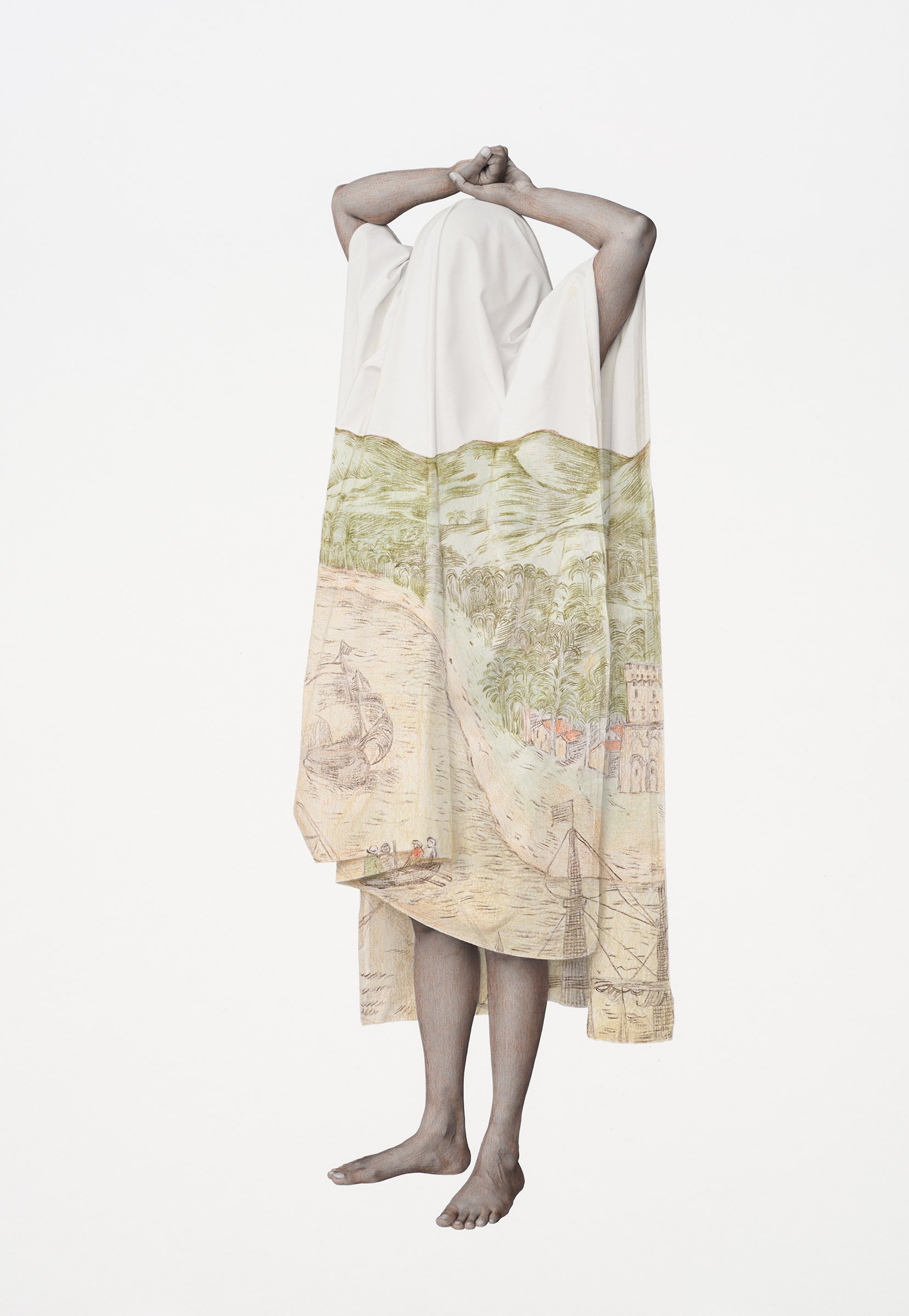
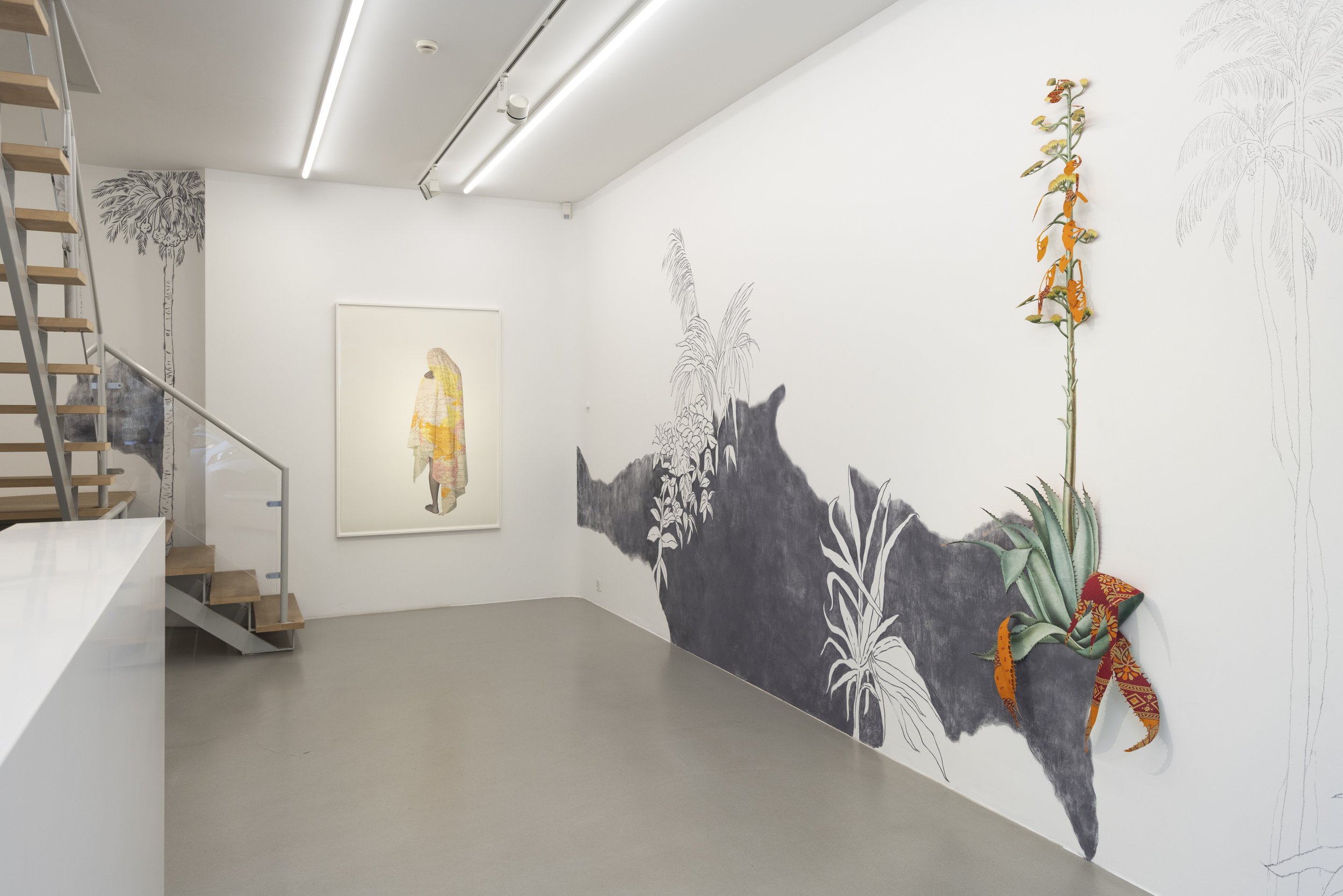
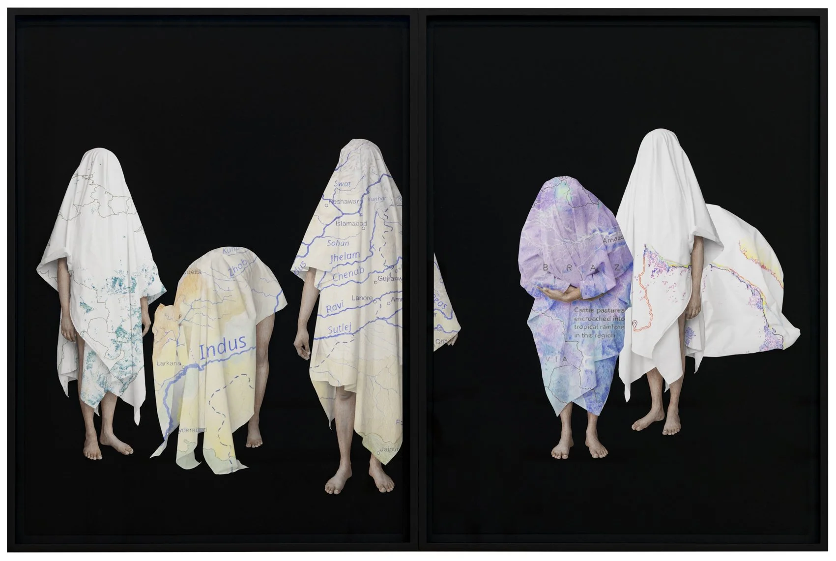
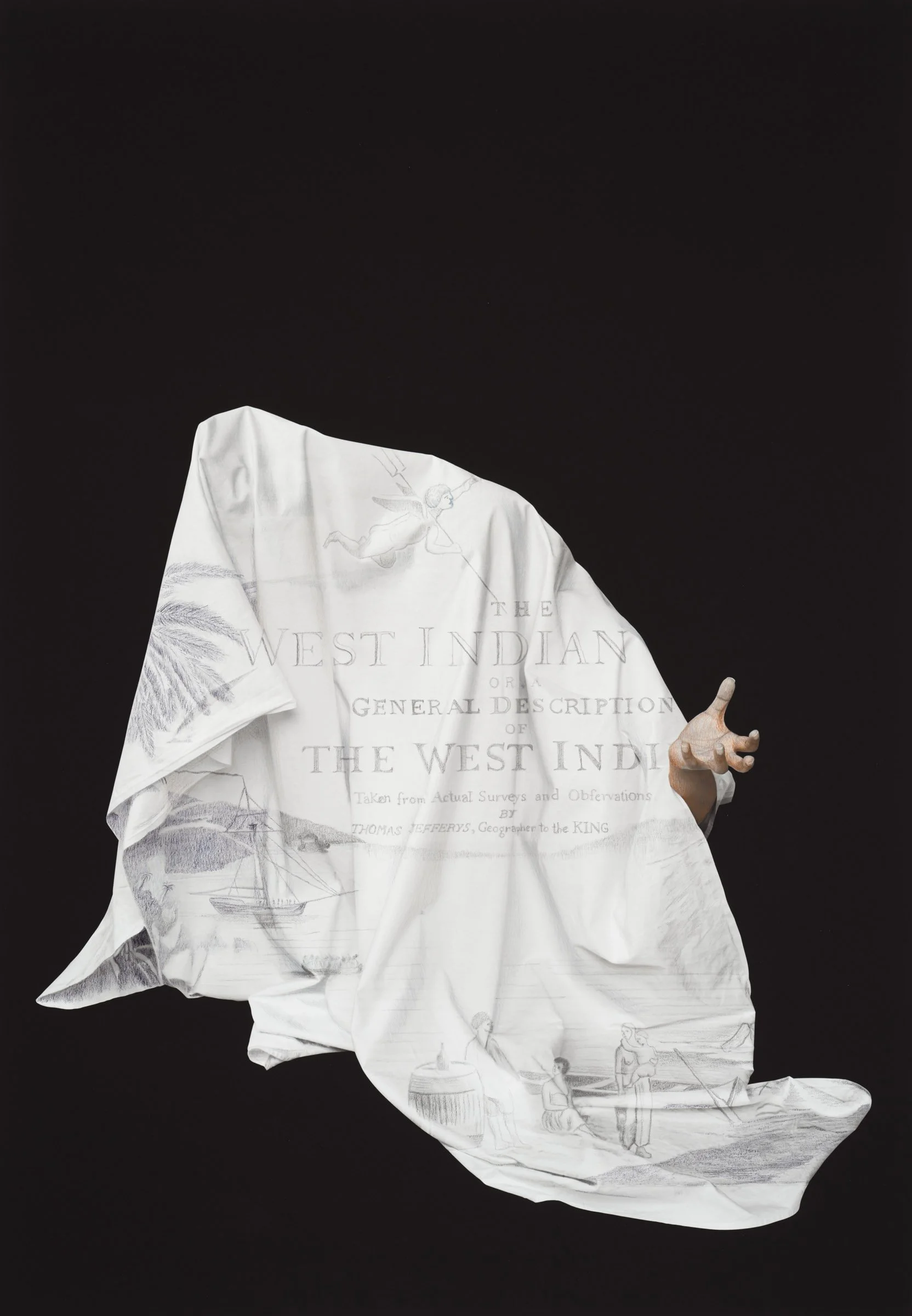
In I Recall The Forest Inside Me, the archive becomes a material to be re-read through the body. I explore postcolonial female bodies draped in maps as an outer skin, a cover, and examine how geographical markers and colonial histories shape individual identities and collective experiences. The figure beneath the cloth becomes a witness — neither fully visible nor fully hidden — occupying the fragile space between memory and erasure. The archival maps record bodies as labour, land as property, plants as commodities, and movement as administration and dismiss the spiritual realm of the non-human presence. Each drawn map represents a landscape of memory, tracing histories that have been marginalized over time and questioning how the apparatus of the state functions within a capitalist system. The draped cloth is both a kitchen/dining tablecloth and a white piece of fabric. The images are staged, where I pose myself under the drape, and the maps are overlaid and hand-painted. Each drawn map represents a landscape of memory, tracing the histories that have been marginalized over time and questioning how the apparatus of state machinery functions in a capitalist system. The work shifts the historical position of the racialized female body from object to author, against the Western male gaze — which has often looked at women and colonized bodies through systems of classification, and possession. The body gestures are performative and draw on the choreography of border control: the body becomes both a document and a witness. It carries the memory of crossing, inspection, displacement, waiting and inherited forms of resistance.